26 THOMAS RD
Owner Information
COLEMAN MICHAEL
26 THOMAS RD
SWAMPSCOTT, MA 01907


Property Details
26 THOMAS RD is classified as a Single Family Residential (Old style).
The primary structure on this property was built in 1906. There are 1,290ft2 of built area within this property. There is 1,290ft2 of residential/living space within this property. This property is listed as having 6 rooms.
26 THOMAS RD is valued at $531,900. The land is valued at $263,900 and the structures are valued at $261,400. There is an additional valuation of $6,600 on this property.
This property is in Zone A-2. Confirm with local Zoning Board authorities to ensure there are no overlays or other easements on this property.
The most recent deed for 26 THOMAS RD is recorded at the local registrar in Book 37439, Page 015. 26 THOMAS RD was last sold on Friday, April 12, 2019 for $494,000.
Assessment data from fiscal year 2022.
Flood Data
According to the FEMA National Flood Hazard Layer, this property does not appear to be in a flood zone. It may also be in an area not yet reviewed. Nonetheless, confirm this information prior to taking any action.
To view the flood hazards around this property, create a FEMA "Firmette" Map of the area around 26 THOMAS RD.
Broadband Internet Providers
| Provider | Type | Bandwidth (mbps) | |
|---|---|---|---|
| Viasat Inc | Satellite | 100 | 3 |
| Verizon New England Inc. | DSL | 7 | 0 |
| HughesNet | Satellite | 25 | 3 |
| GCI Communication Corp. | Satellite | 0 | 0 |
| Comcast | Cable | 1000 | 35 |
| VSAT Systems, LLC. | Satellite | 2 | 1 |
| Verizon New England Inc. | Fiber | 940 | 880 |
Broadband service provider data from December 2020.
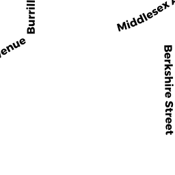
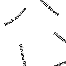
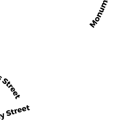
Adjacent Properties
- 25 ELMWOOD RD
Single Family Residential owned by SWAIM PAUL - 21 23 ELMWOOD RD
Two-Family Residential owned by KNIGHT PAMELA P TRUSTEE - 19 ELMWOOD RD
Single Family Residential owned by INZANA PETER - 22 THOMAS RD
Single Family Residential owned by DOBIAS SHARON L - 18 B THOMAS RD
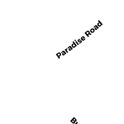
Residential Condominium owned by PERRY DOREEN M - 23 PARADISE RD
Libraries, Museums (Charitable Org.) owned by LONGYEAR FOUNDATION